HOW THE HF RADAR WORKS

In the same way that conventional radars control road speeds or air traffic, the HF Radar emits a High Frequency radio signal which reaches the rough surface of the moving sea, which in turn reflects a wave which is captured back by the antenna. This reflected signal allows the velocity at which the surface of the sea moves to be calculated.
To obtain complete data for the superficial velocity, two antennas are necessary, a transmitting antenna and a receiving antenna to capture the reflected signal. A computer system analyses this signal to determine the swell and currents. The radial data from both stations, Ibiza and Formentera, is combined to create total vectors of superficial currents with a spatial resolution of 3 kilometres and a scope of up to 70 kilometres. This data is used to produce numerical models which generate oceanographic forecasts.
These are low power emissions and do not represent any danger for the marine or terrestrial environments. So it is possible to safely observe, in real-time, the trajectory of the superficial currents and the formation of eddies.
TECHNOLOGY FOR REMOTE SENSING OF CURRENTS
The HF Radar technology provides real-time observational data of the superficial currents via coastal stations.
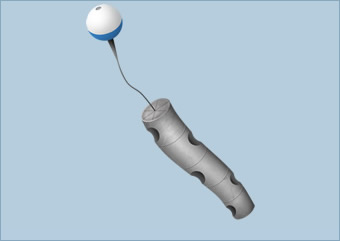
Understanding marine currents is of great importance for the development of activities linked to maritime transport, recreational boating or the construction of dykes and ports. Thanks to the development of various monitoring instruments, currents are recorded by means of devices in the sea such as buoys or current metres, which supplement the data from the HF Radar.